Brisbane's Northern Edge
The Last Suburb Inside Brisbane
Bald Hills is the northernmost suburb of the City of Brisbane. Census figures for 2021 show renters in 25.5% of occupied homes, among a population of 7,000. Gympie Road, the Gateway Motorway and the start of the Bruce Highway meet here, with St Paul's Anglican School and the Guide Dogs centre among the larger sites.
Old Homes and Low Ground
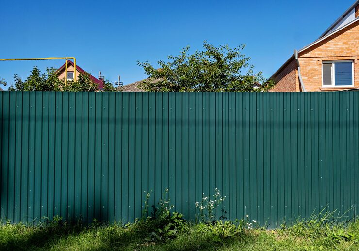
With land sales going back to 1857, the housing here spans a long stretch of time. Some boundaries are old, and replacing them with a steel boundary fence starts with checking what they are made of. On the western side, the Bald Hills Flats floodplain is still used for cattle grazing, and yards toward it sit on lower ground that holds water after heavy rain.
Why the Council Line Matters
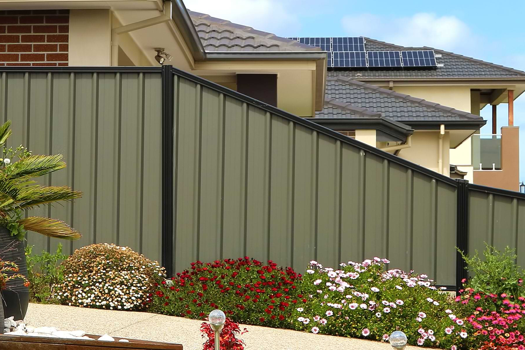
Bald Hills falls under Brisbane City Council, unlike Strathpine or Bray Park across the river. That changes which council answers an approval question about a Brisbane City Council fence, and which planning scheme applies. Colourbond fencing in Bald Hills is built to council's answer for your address under Brisbane's City Plan.
How We Work a Bald Hills Block
Our structural landscaping licence with the QBCC is number 1196811. Posts are set in concrete at depths suited to the soil, and on the lower western ground we check drainage before pegging. Excavators, tracked skid steers and post drivers from our own fleet do the digging, so Colourbond fencing in Bald Hills runs on gear we control.
Sources: ABS 2021 Census QuickStats: Bald Hills (SAL30123), Bald Hills, Queensland (Wikipedia), Brisbane City Plan