River Flats, Reserves and the Motorway
Brisbane's Northern Edge
Bald Hills lies between the South Pine River on the west and the Pine River on the north, and it is surrounded by bushland. The 2021 Census counted 7,000 residents, with a median age of 36. Separate houses made up 93.8% of homes, and 25.5% of occupied dwellings were rented. Households averaged 2.0 motor vehicles.
Floodplain, Wetland and Traffic
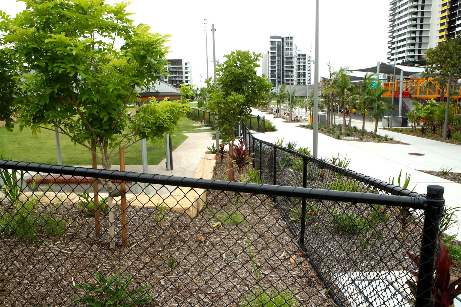
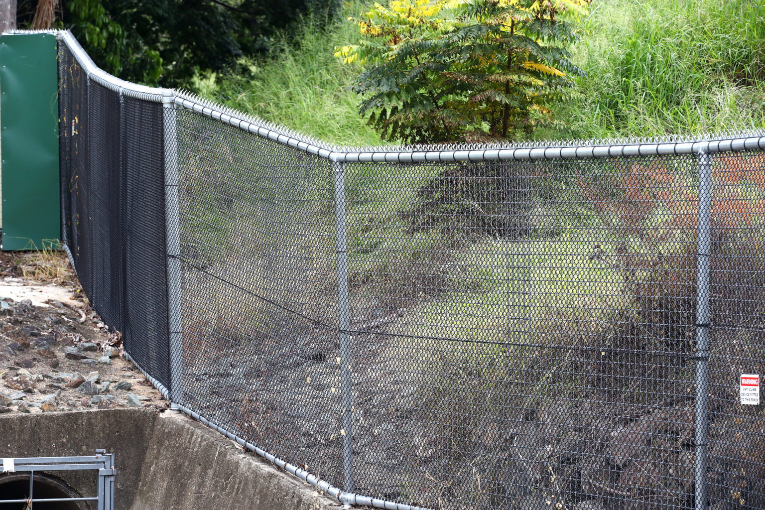
The western floodplain takes water when the rivers rise, so posts on the flats need footings that hold in soaked ground. Wetland and bushland reserves sit beside private lots, and the boundary has to be clear before a post goes in. On the eastern side, Gympie Road and the Gateway Motorway bring constant traffic past the road-facing chain wire fencing in Bald Hills homes and businesses.
Why the Council Line Matters
Bald Hills answers to Brisbane City Council, so approval questions for a fence go to that council under its City Plan, a different scheme from the one across the river. We do not give planning advice, and we build to what that check settles. The same applies to acreage fencing on the flats and to school fencing on a campus.
How We Plan a Bald Hills Line
We confirm the lot boundary, ground levels and any reserve edges on site, then plan heights, gates and footings around stock, students or traffic. Our crews arrive with excavators, post drivers and tip trucks, which suits long paddock runs. Chain wire fencing in Bald Hills is then built to the scope agreed in writing.
Sources: ABS 2021 Census QuickStats: Bald Hills (SAL30123), Bald Hills, Queensland (Wikipedia), Gateway Motorway (Wikipedia), Brisbane City Council City Plan