Civic Centre, Floods and Foot Traffic
A Centre Built Along Gympie Road
Strathpine began in the 1860s as an addition to North Pine during the Gympie gold rush. Today Gympie Road carries traffic through the suburb with the North Coast line beside it, and the Strathpine Centre, council offices and government offices sit close together. The 2021 Census counted 10,647 residents in 4,238 private dwellings, and 82.3% of homes were separate houses.
Flood History Near the Pine River
Homes in low-lying Strathpine flooded in February 2022, and parts of the suburb were evacuated in January 2011 after North Pine Dam releases. Fence lines on that lower ground carry debris when water moves through them, and posts in soaked soil can lean. Busy frontages add another limit, because work beside a school gate or a shopping centre entry has to fit around people.
Why the Detail Matters Here
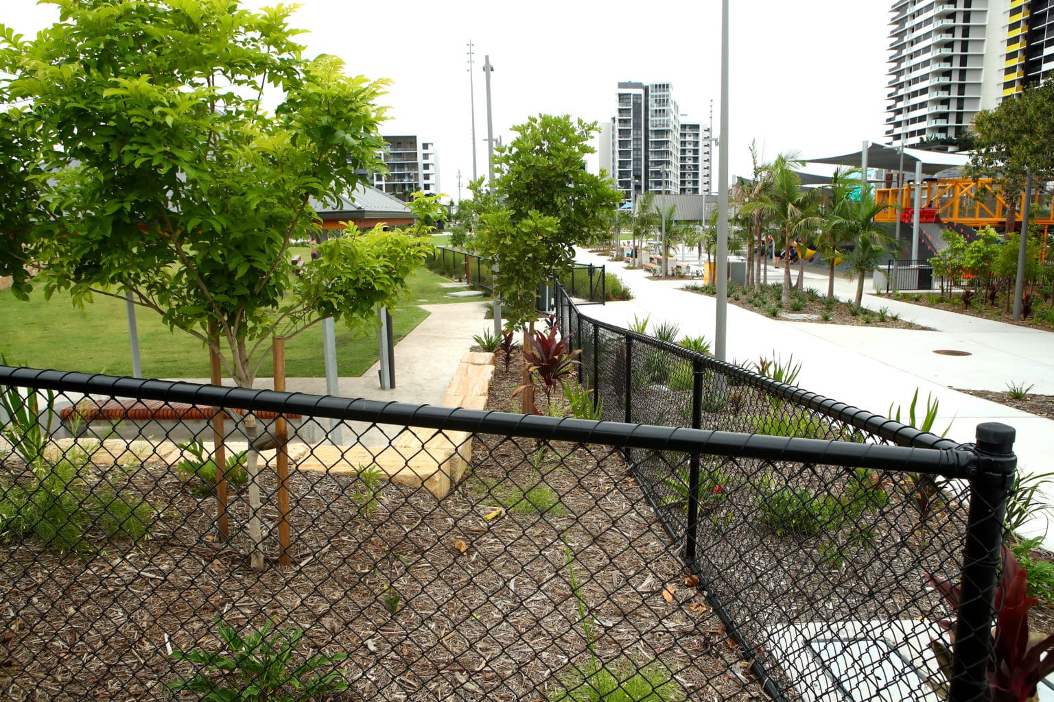
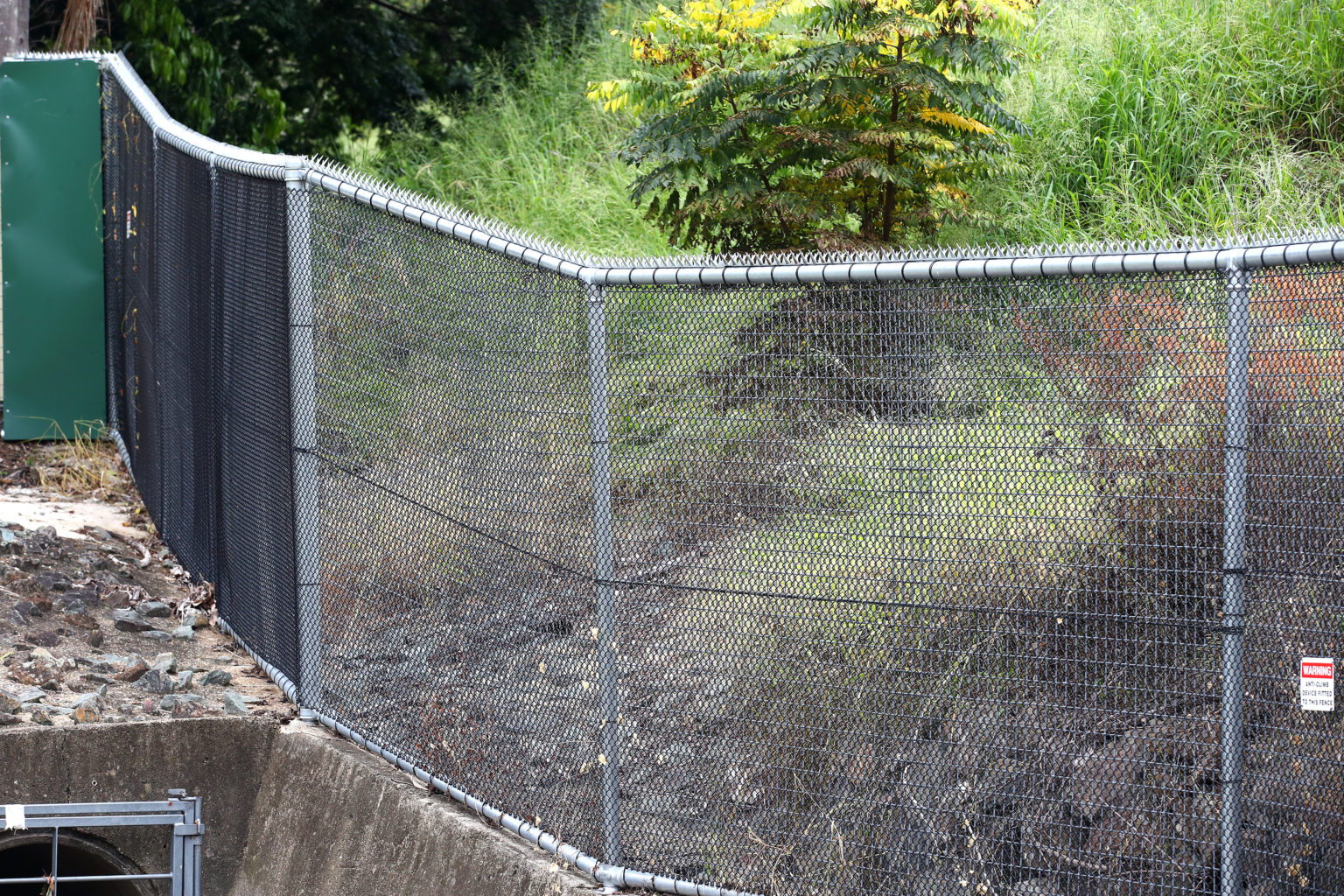
A failed section of chain wire fencing in Strathpine beside a playground or public car park becomes a safety question quickly, whether it is school fencing or security fencing around plant. Open mesh lets floodwater through more freely than a solid panel, and a run tensioned properly at the start is easier to inspect and re-tension after the water drops.
How We Plan a Strathpine Line
Excavators, post drivers and flat tray trucks from our own fleet do the digging and carting. Strathpine addresses come under the City of Moreton Bay, whose MBRC Planning Scheme settles any approval question, and the fence is built to whatever that check decides. Chain wire fencing in Strathpine is then set out with gates, footings and access times agreed in writing.
Sources: ABS 2021 Census QuickStats: Strathpine (SAL32680), Strathpine, Queensland (Wikipedia), North Pine River (Wikipedia), Nikki Boyd MP, Pine Rivers, on the February 2022 floods, City of Moreton Bay Planning Schemes